Uploads by S140120
Jump to navigation
Jump to search
This special page shows all uploaded files.
| Date | Name | Thumbnail | Size | Description | Versions |
|---|---|---|---|---|---|
| 11:39, 6 June 2016 | HASP robot forces02.png (file) | 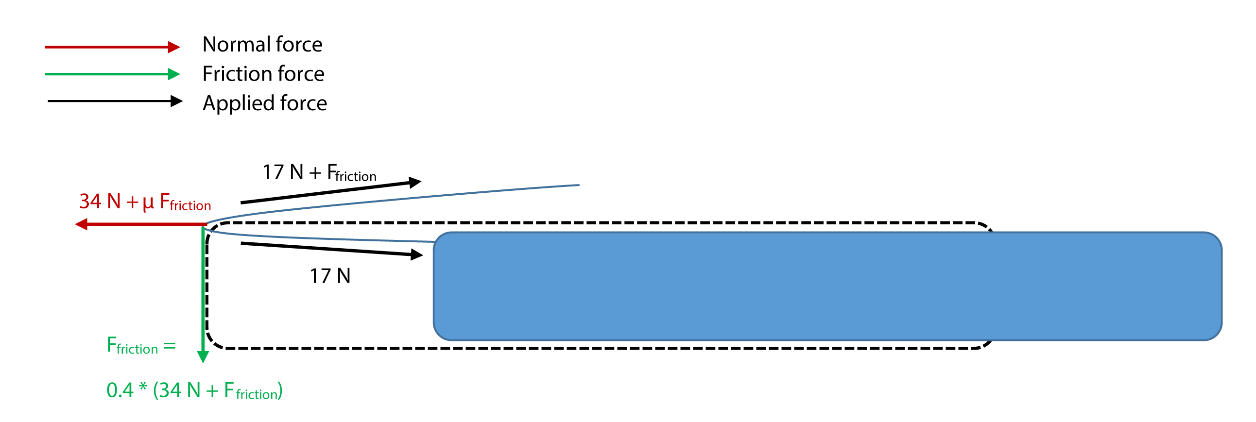 |
40 KB | Forces acting on the arms. Made by Stijn. | 1 |
| 11:39, 6 June 2016 | HASP robot forces01.png (file) |  |
50 KB | Forces acting on the arms. Made by Stijn. | 1 |
| 11:06, 6 June 2016 | HASP robot sliding.png (file) | 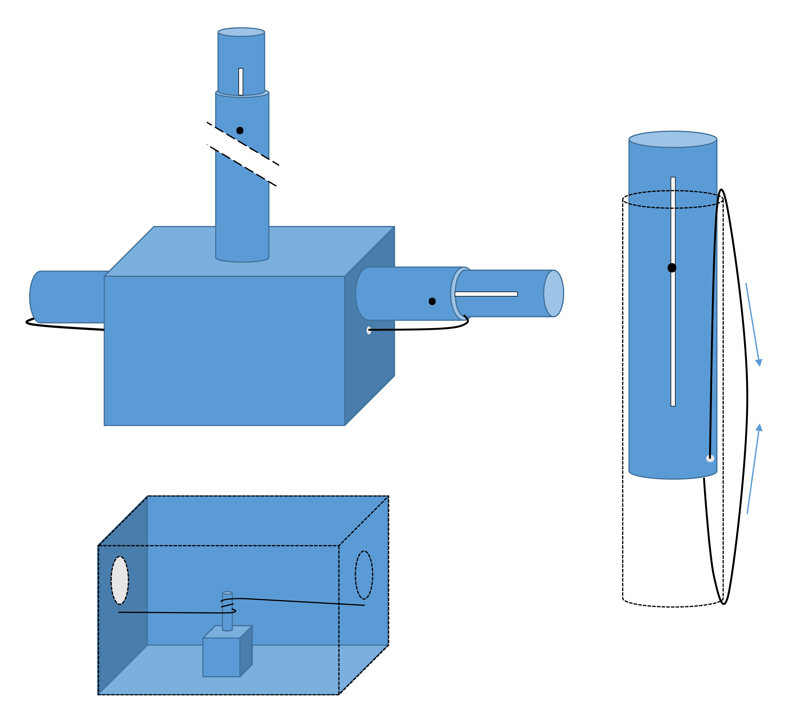 |
113 KB | Sliding mechanism. Created by Stijn. | 1 |
| 10:20, 6 June 2016 | EEZ worldmap.jpg (file) | 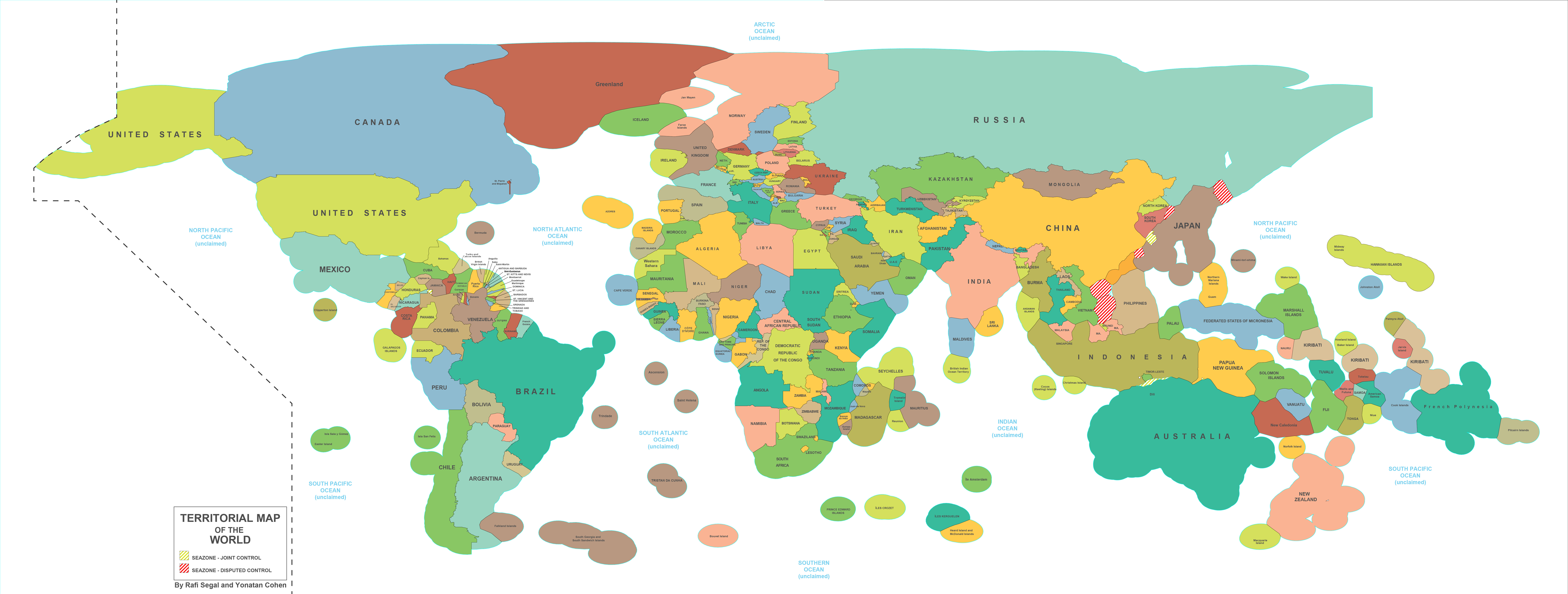 |
3.39 MB | World map of EEZs. source: http://farm8.staticflickr.com/7292/10134658063_fca4fc3da2_o.jpg | 1 |
| 16:06, 19 May 2016 | 422125055 10076452702347634535.jpg (file) | 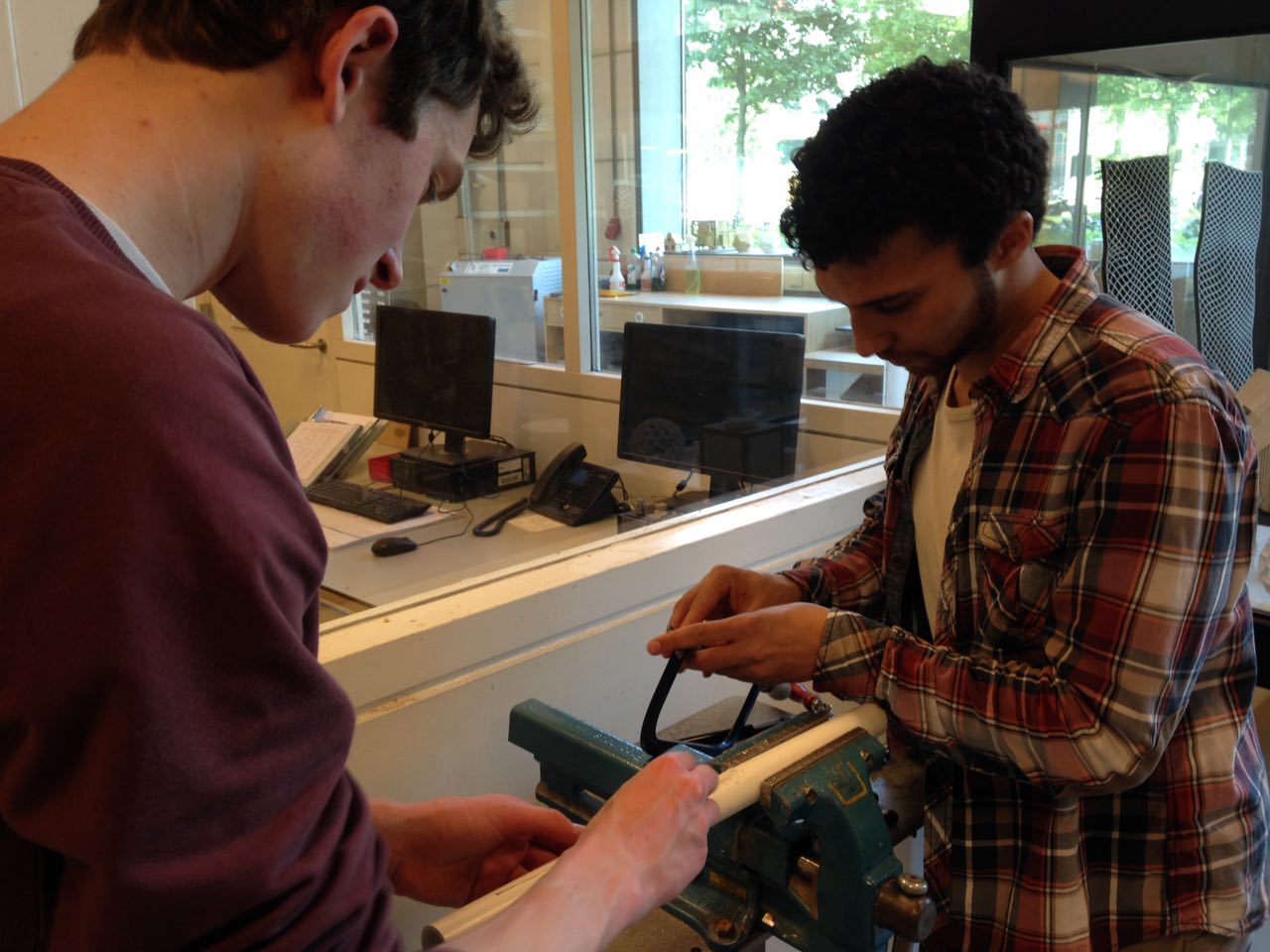 |
154 KB | Working on a part of the robot. | 1 |
| 17:25, 28 April 2016 | HASP logo v0.1.png (file) |  |
198 KB | 1 | |
| 16:47, 28 April 2016 | Deadzones.jpg (file) | 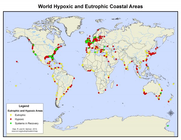 |
70 KB | Ocean dead zones source: http://www.wri.org/sites/default/files/uploads/world_21dec2010.preview.jpg | 1 |
| 16:37, 28 April 2016 | Drifterandjet.jpg (file) | 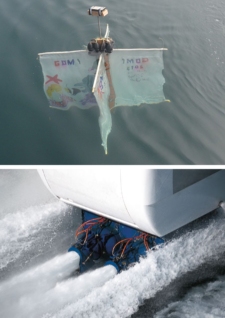 |
178 KB | sources: http://www.gulfofmaineinstitute.com/wp-content/uploads/2013/07/DSC_6331-Custom.jpg http://www.moteurboat.com/img/1-59-480x700-0/photo-hydrojet.jpg | 1 |
| 15:50, 28 April 2016 | Bathymetry.jpg (file) | 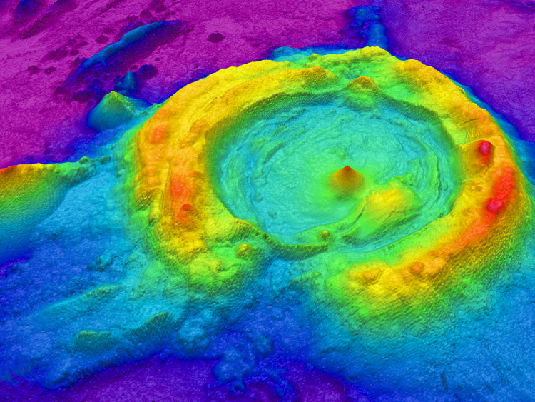 |
242 KB | Map of a huge caldera in the NE Lau Basin, created from multibeam data processed with GIS software. (source: http://oceanexplorer.noaa.gov/technology/tools/mapping/mapping.html) | 1 |
| 11:15, 25 April 2016 | Sketch03452399325.jpg (file) | 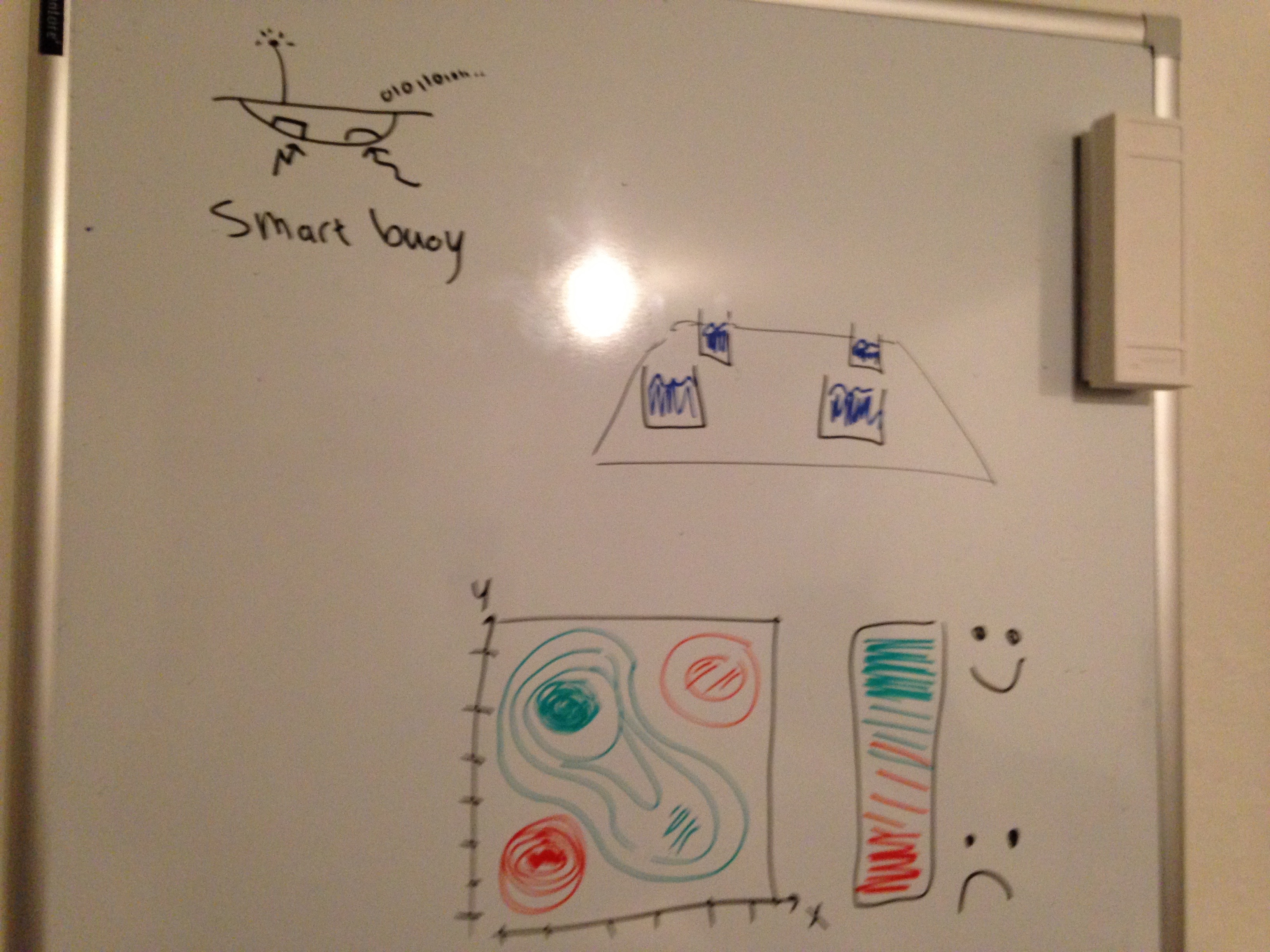 |
1.77 MB | Sketch of a sensor buoy possible deliverable. | 1 |
| 16:40, 21 April 2016 | Greenwave.jpg (file) |  |
260 KB | Representation of a sea farm. Source: http://ecowatch.com/wp-content/uploads/2015/11/greenwave.jpg | 1 |