File:Potential Fields maps.png
Jump to navigation
Jump to search

Size of this preview: 800 × 398 pixels. Other resolution: 1,920 × 955 pixels.
Original file (1,920 × 955 pixels, file size: 109 KB, MIME type: image/png)
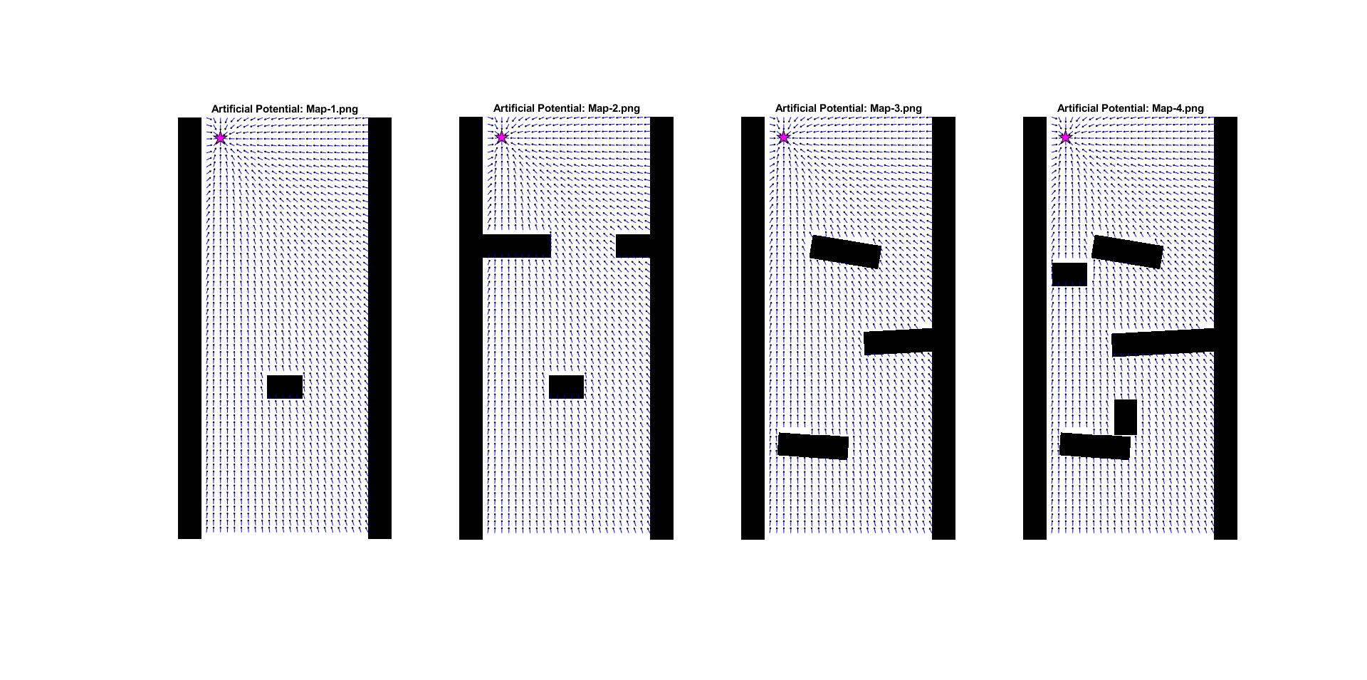
Potential Fields for all maps
File history
Click on a date/time to view the file as it appeared at that time.
| Date/Time | Thumbnail | Dimensions | User | Comment | |
|---|---|---|---|---|---|
| current | 17:24, 21 May 2024 | | 1,920 × 955 (109 KB) | S.achaoui@student.tue.nl (talk | contribs) | |
| 17:22, 21 May 2024 | 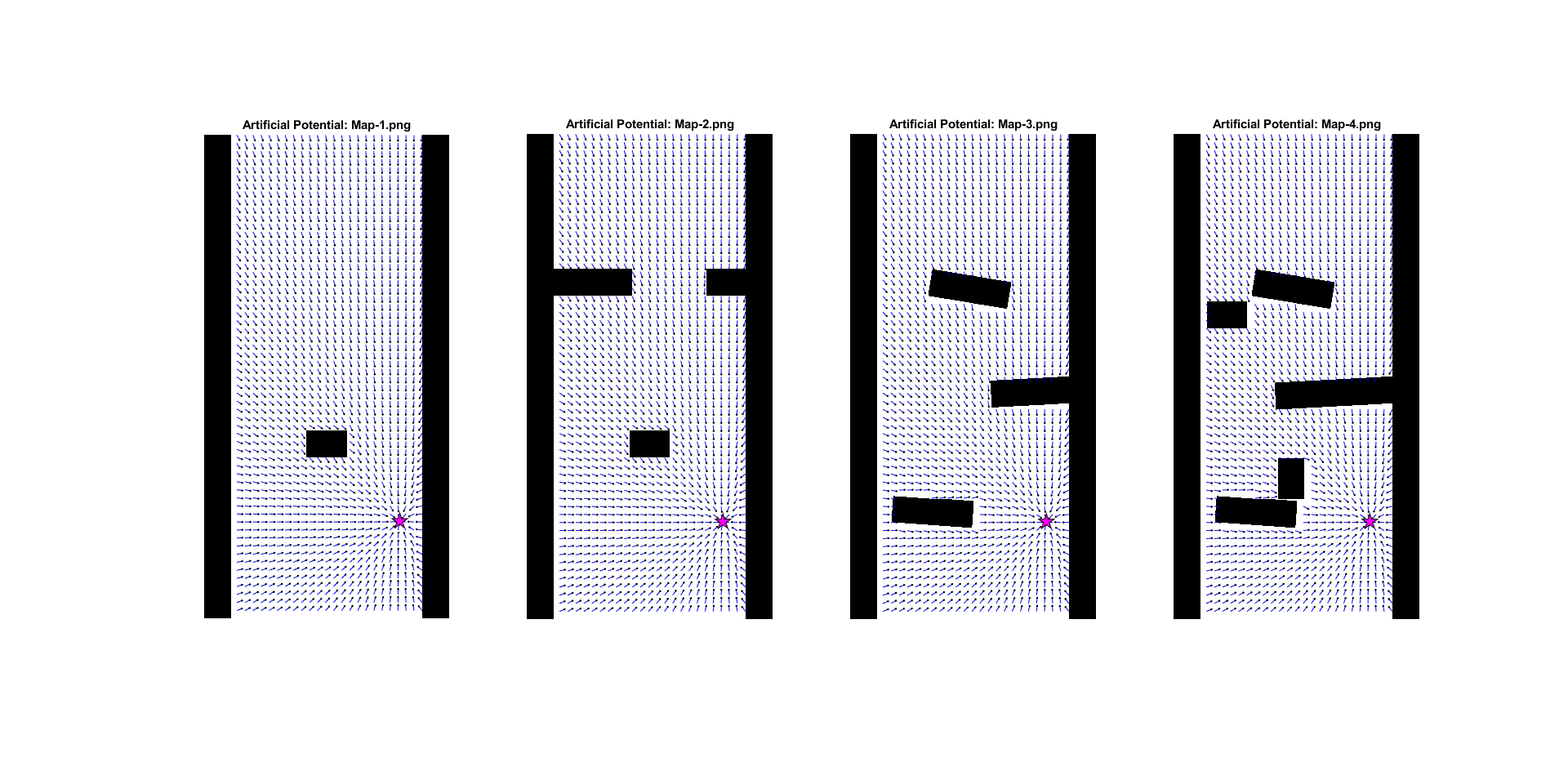 | 1,920 × 955 (113 KB) | S.achaoui@student.tue.nl (talk | contribs) | ||
| 16:36, 21 May 2024 | 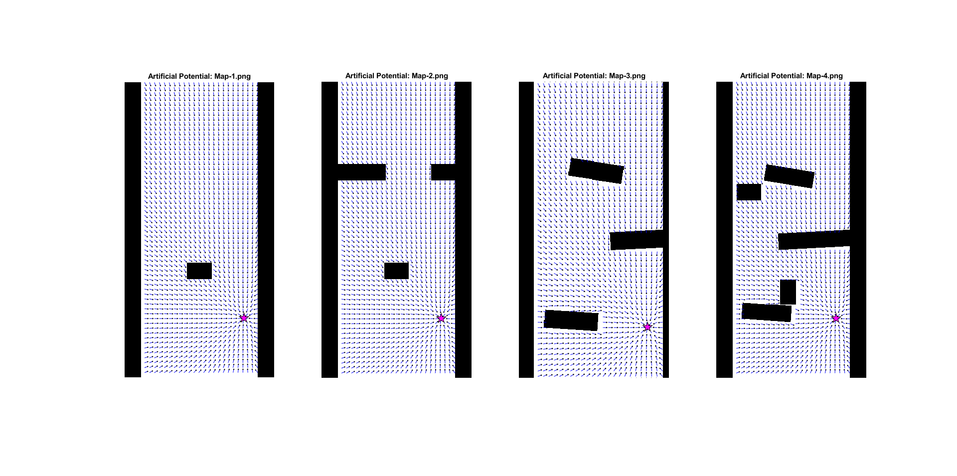 | 1,920 × 955 (146 KB) | S.achaoui@student.tue.nl (talk | contribs) |
You cannot overwrite this file.
File usage
The following page uses this file: