Embedded Motion Control 2013 Group 10
Group Name
Team Picobello
Group Members
| Name: | Student id: | Email: |
| Pepijn Smits | 0651350 | p.smits.1@student.tue.nl |
| Sanne Janssen | 0657513 | s.e.m.janssen@student.tue.nl |
| Rokus Ottervanger | 0650019 | r.a.ottervanger@student.tue.nl |
| Tim Korssen | 0649843 | t.korssen@student.tue.nl |
Introduction

Nowadays, many human tasks have been taken over by robots. Robot motion control and embedded motion control in the future allow us to use robots for many purposes, such as health care. The (humanoid) robots therefore have to be modeled such that they can adapt to any sudden situation.
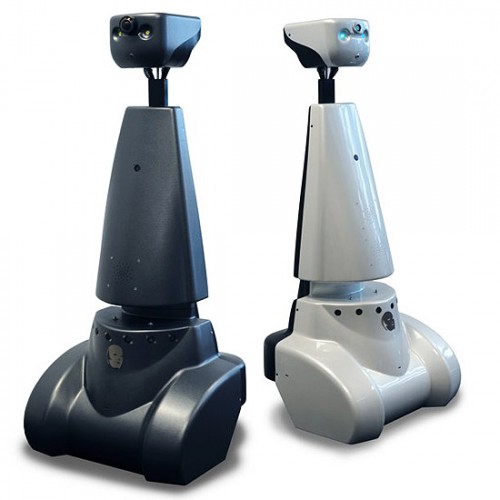
The goal of this project is to get the real-time concepts in embedded software design operational. This wiki page reviews the design choices that have been made for programming Jazz robot Pico. Pico is programmed to navigate fully autonomously through a maze, without any user intervention.
The wiki contains three different programs. The first program was used for the corridor competition. In this program the basic skills like avoiding collision with the walls, finding corners and turning are implemented.
After the corridor competition, a new design strategy was adopted. The second program consists of a low level code, namely a wall follower. By keeping the right wall at a fixed distance from Pico, a fairly simple, but robust code will guide Pico through the maze.
Besides this wall follower strategy, a high level approach was used. This maze solving program uses wall (line) detection to build a navigation map, which Pico uses to create and follow path lines to solve the maze. To update the position of Pico, the odometry information, local and global maps are used.
The latter two programs use Pico’s camera to detect arrows in the maze that point Pico in the right direction.
Data processing
Pico outputs a lot of sensordata. Most of the data needs to be preprocessed for use the maze-solving algorithm. The odometry data, laserscandata and imagedata are discussed below.
Odometry data
One of the incoming data types is the odometry. The odometry information is based on the angular positions of the robot wheels. These angular positions are converted into a position based on a Cartesian odometry system, which gives the position and orientation of Pico, relative to its starting point. For the navigation software of Pico, only the x,y-position and [math]\displaystyle{ \theta }[/math]-orientation are of interest.
Due to slip of the wheels, the odometry information is never fully accurate. Therefore the odometry is only used as initial guess in the navigating map-based software. For accurate localization, it always needs to be corrected.
This correction is based on the deviation vector obtained from the map updater. This deviation vector gives the (x,y,θ)-shift that is used to fit the local map onto the global map and therefore represent the error in the odometry. Because of the necessary amount of communication between the parts of the software that create the global map and the part that keeps track of the accurate position, these parts are programmed together in one node. This node essentially runs a custom SLAM (Simultaneous Localization and Mapping) algorithm.