Summary Chiel van der Laan
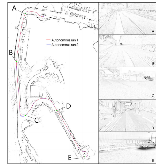
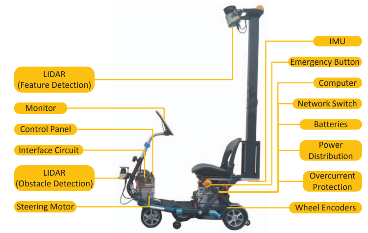
The problem of mapping can be solved by constructing a 2D scan with a LIDAR system from a 3D environment. [1] After which it the localization can be done in the 2D mapped environment for lower processing power.[2] An example of the visual validation of localization can be seen in figure 1. The LIDAR system for the mapping and localization has to be able to scan a large area at once and has to be high on top of the mobility scooter because of this.

