File:DroneVsTruck.JPG: Difference between revisions
Jump to navigation
Jump to search
The road that a truck travels plus the travel time is calculated by Google maps which are shown in the image. Also a line that shows how crow flies is shown which enables the user to calculate the travel distance depending on the drone's average speed. |
(No difference)
|
Latest revision as of 11:30, 19 March 2018
The road that a truck travels plus the travel time is calculated by Google maps which are shown in the image. Also a line that shows how crow flies is shown which enables the user to calculate the travel distance depending on the drone's average speed.
File history
Click on a date/time to view the file as it appeared at that time.
| Date/Time | Thumbnail | Dimensions | User | Comment | |
|---|---|---|---|---|---|
| current | 11:30, 19 March 2018 | 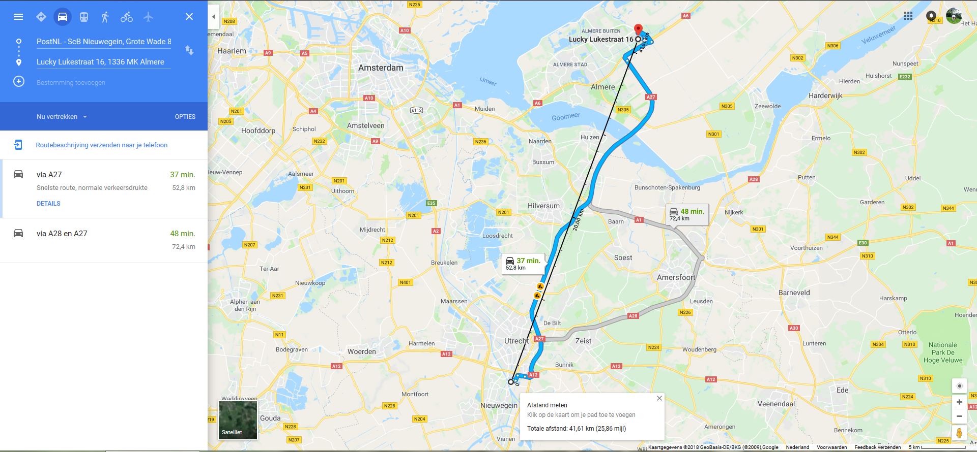 | 1,920 × 890 (246 KB) | S154467 (talk | contribs) | The road that a truck travels plus the travel time is calculated by Google maps which are shown in the image. Also a line that shows how crow flies is shown which enables the user to calculate the travel distance depending on the drone's average speed. |
You cannot overwrite this file.
File usage
The following page uses this file: